The steam has long since evaporated, the bells and whistles have fallen silent, and the locomotives have been consigned to scrap yards, but these relics survive to remind us of Fort Worth’s iron age as a railroad hub:
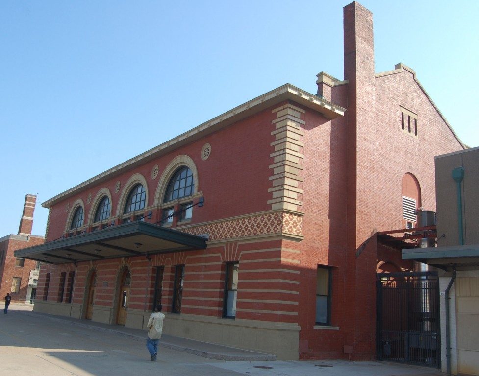
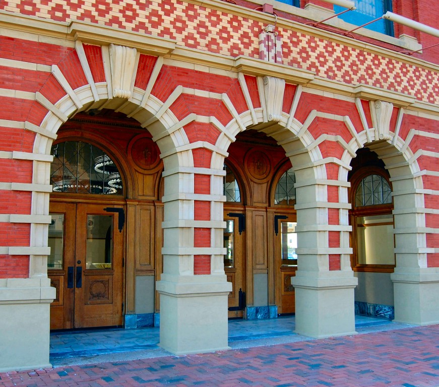 This building yoostabe the Santa Fe passenger depot, built in 1899 on Jones Street at East 15th Street. The depot was also known as the “Union Depot.” The Houston & Texas Central railroad also used the Santa Fe depot.
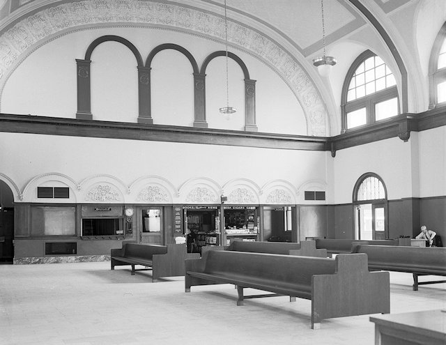
The waiting room of the depot in 1938. (Photo from University of Texas at Arlington.)
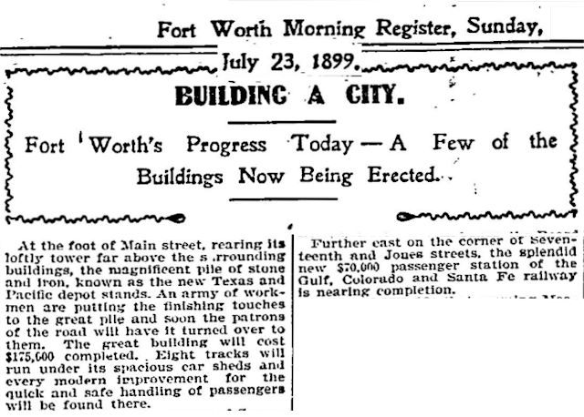 In fact, Fort Worth got two new passenger depots in 1899: Texas & Pacific opened its new depot at Main and Lancaster streets.
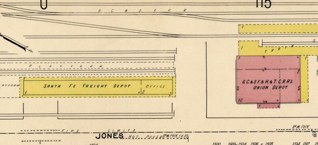 The Santa Fe passenger depot was just south of the freight depot on Jones Street.
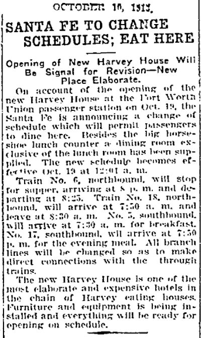
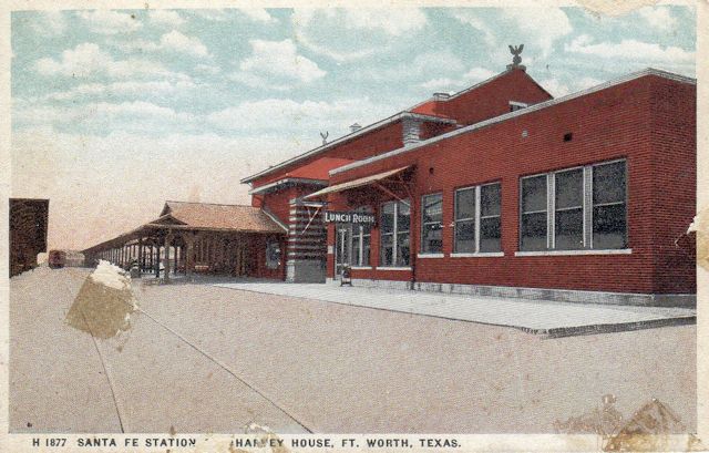 In 1913 a Harvey House restraurant was opened beside the passenger depot. Fred Harvey founded the Harvey House restaurants, which served passengers along several major railroad lines, including the Santa Fe. (Postcard from Barbara Love Logan.)
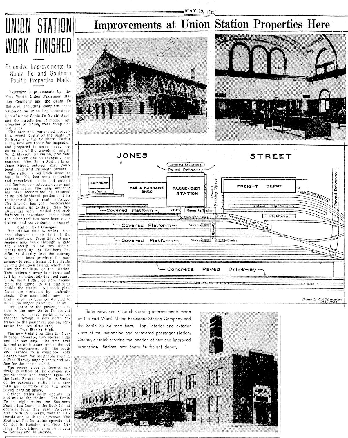
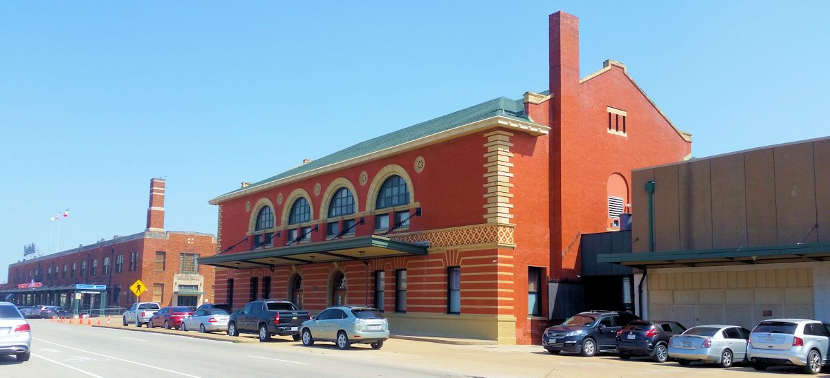
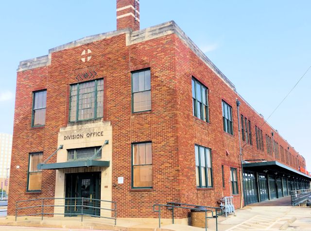
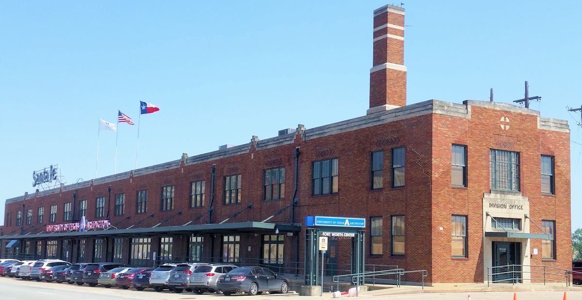 In 1938 Santa Fe renovated the passenger depot and built a new 327-foot-long freight depot to the north of the passenger depot. The diagram of the Santa Fe facility shows a parking lot where the Harvey House had been. Apparently the Harvey restaurant was moved into the passenger depot. By 1938 Southern Pacific and Rock Island railroads also used the passenger depot. The three railroads moved a combined sixteen trains a day through the depot.
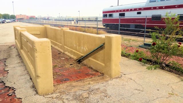 The passenger depot had three passenger platforms. Passengers used a pedestrian subway under the inside track to reach platforms for the two outer tracks. The subway has been filled in and paved with bricks.
The passenger depot is now a banquet facility of the Ashton Hotel.
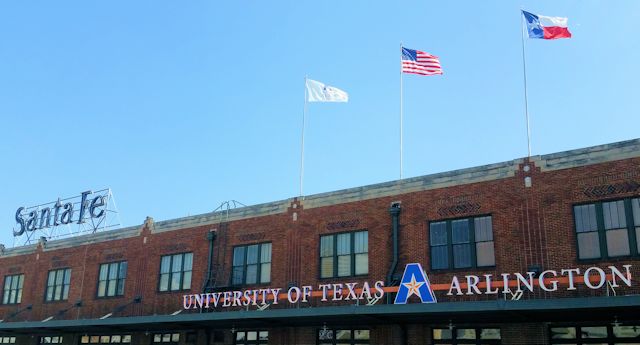 The freight depot is now part of the University of Texas at Arlington.
 Santa Fe’s mail and baggage building (1938) adjacent to the passenger depot on the south was greatly expanded sometime after 1956. Santa Fe buildings stretched from 12th Street to 16th Street. At least part of the southernmost building now houses a data center of Level 3, a communications company.
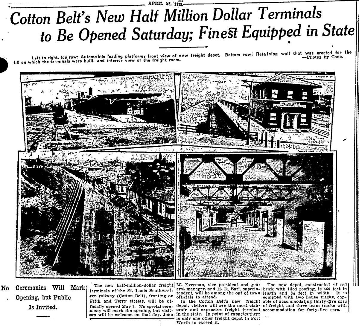
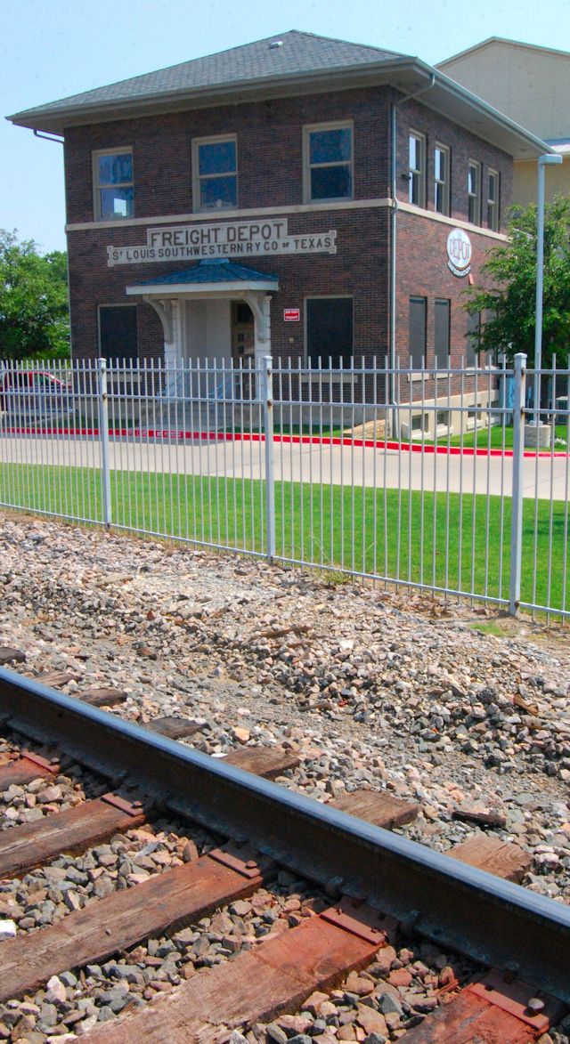
In 1915 the St. Louis-Southwestern (Cotton Belt) railroad built a freight depot at the intersection of Terry and Elm streets on the east side of downtown.
 Behind the two-story freight depot stretched the 34-by-460-foot freight warehouse.
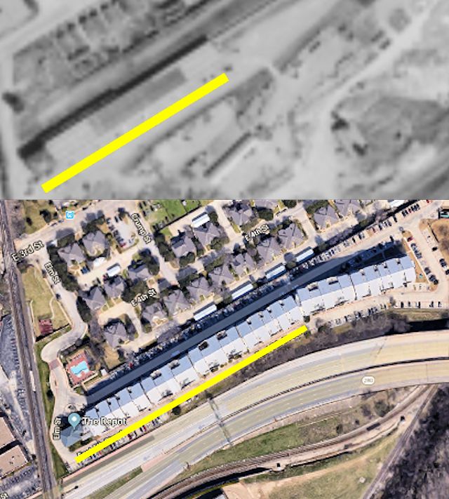 In 2005 The Depot apartments were built where the freight warehouse had been. The little freight depot survives as the office of the apartment complex.
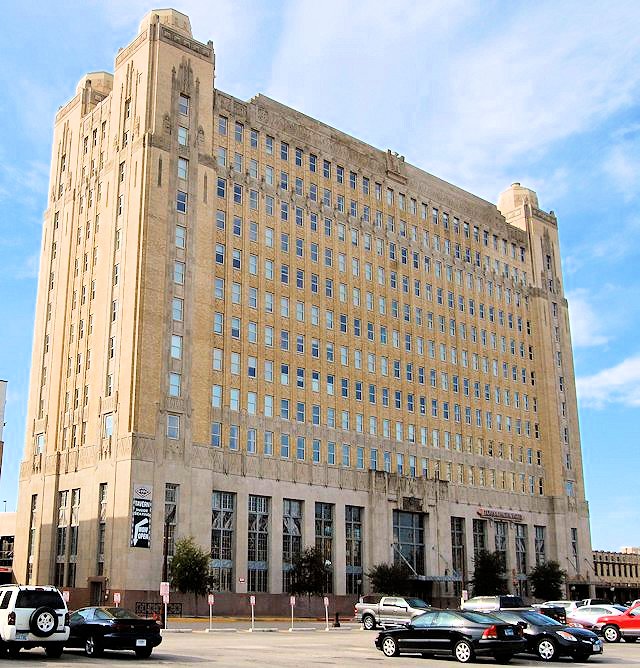
This grand building, of course, yoostabe Texas & Pacific’s passenger depot. Built in 1931, it was T&P’s fourth in Fort Worth, the first passenger depot built in 1876 being located just north of the 1931 station.
The 1931 building now houses condominiums.
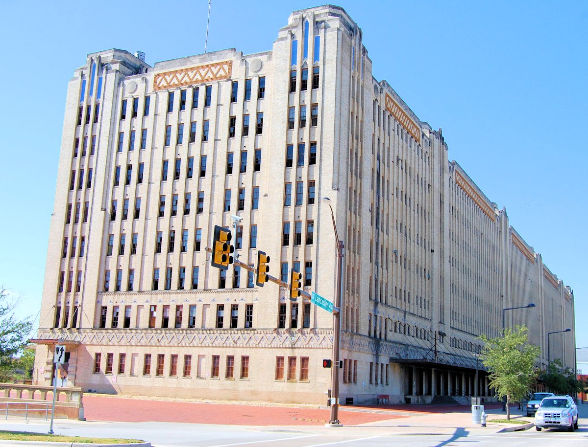 Two blocks west on Lancaster Avenue in 1931 Texas & Pacific built its massive (480,000 square feet of floor space) freight depot. Both depots were part of Texas & Pacific’s transformation of the Lancaster Avenue corridor from Main Street to Henderson Street. The eight-story freight depot is six hundred feet long and one hundred feet wide.
The building has been vacant for years.
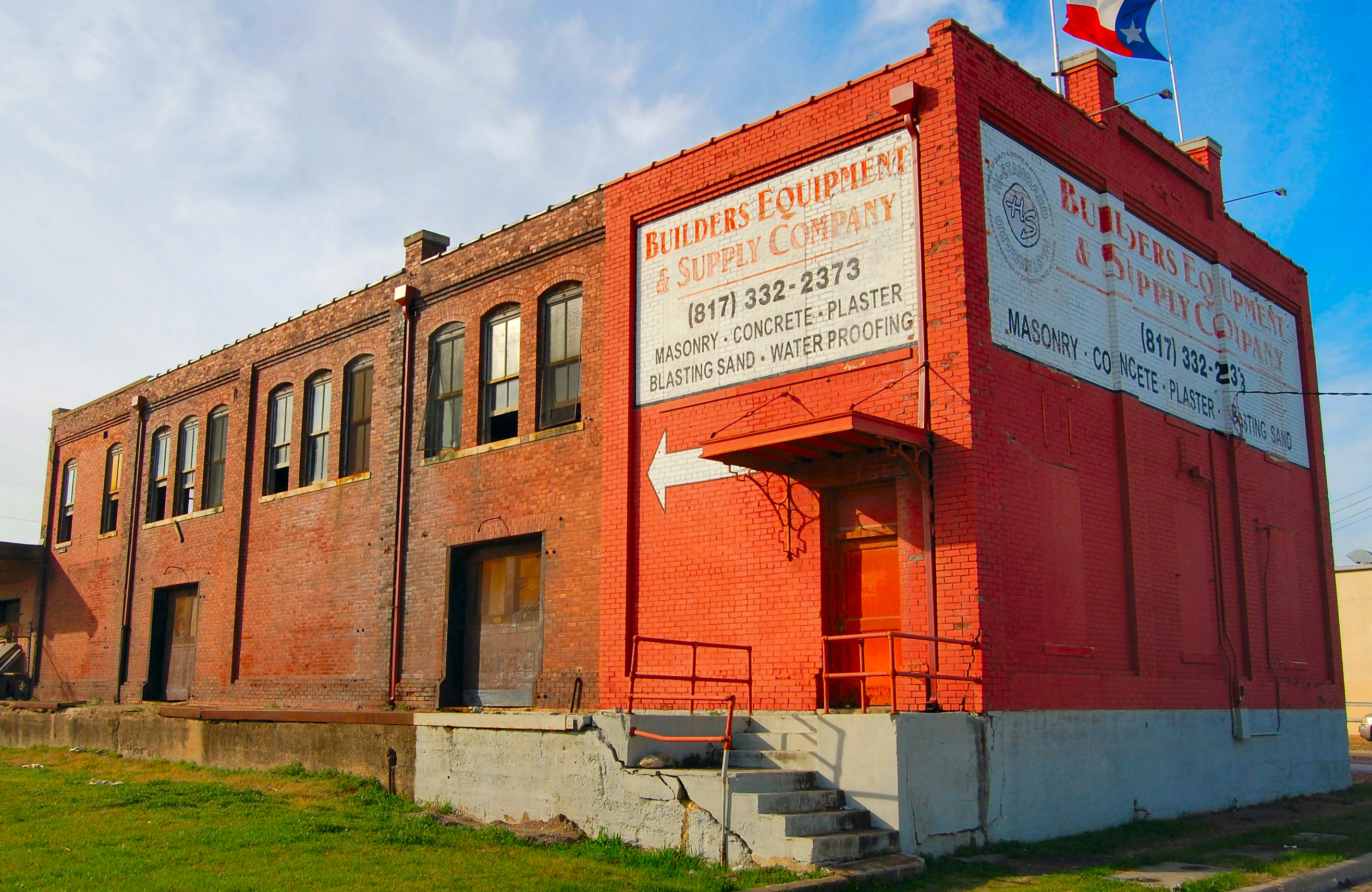 In 1909 the Katy railroad built a new fireproof freight depot at 320 East Vickery Boulevard (named “Railroad Avenue” at the time) just south of downtown. The depot stretched from Vickery Boulevard to East Broadway Street. This photo shows the office on Vickery Boulevard.
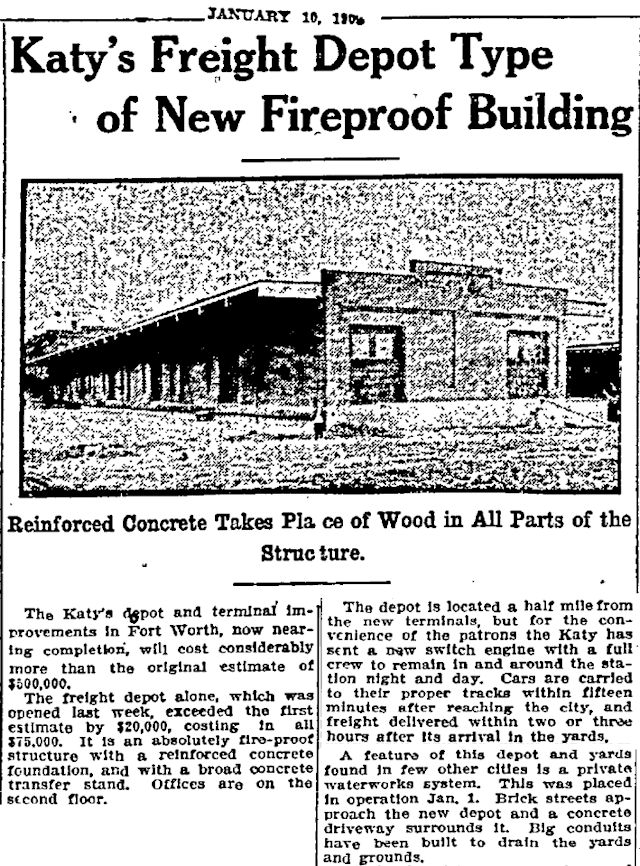
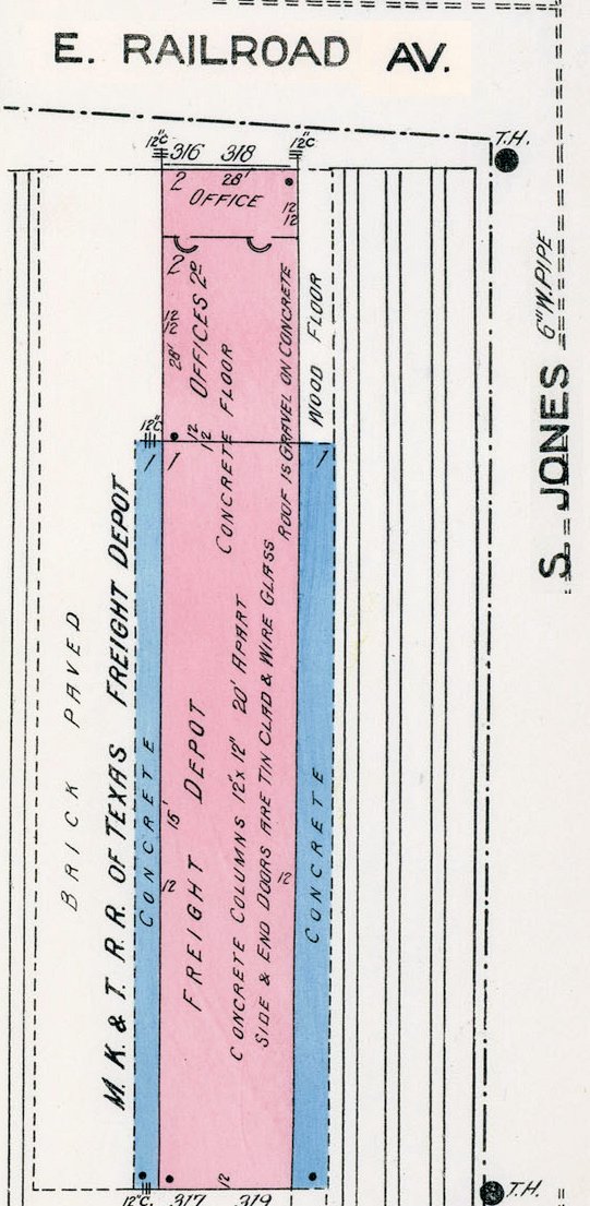 I think the 1909 photo shows the one-story rear of the depot, not the two-story front of the depot. Building a fireproof depot proved to a wise decision: Three months after the Star-Telegram article appeared, the Katy freight depot survived the great South Side fire. The Texas & Pacific roundhouse two blocks away at Main and Vickery was not so fortunate: It was destroyed in the fire.
Our last railroad relic is not as obvious as the old depots:

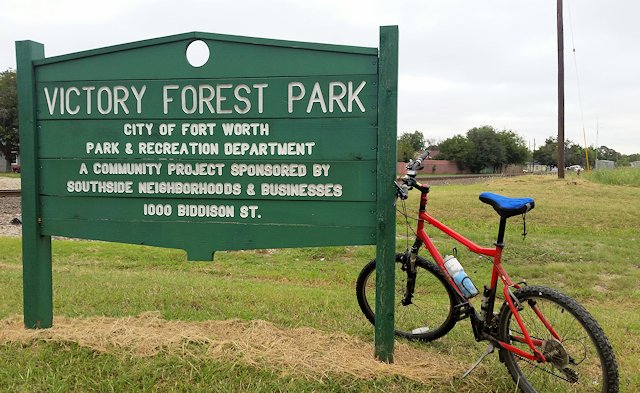 Just south of the Our Lady of Victory Academy campus lies Victory Forest Park. The park runs alongside Biddison Street between the Burlington Northern Santa Fe railroad track and Victory Forest Community Center just east of Hemphill Street.
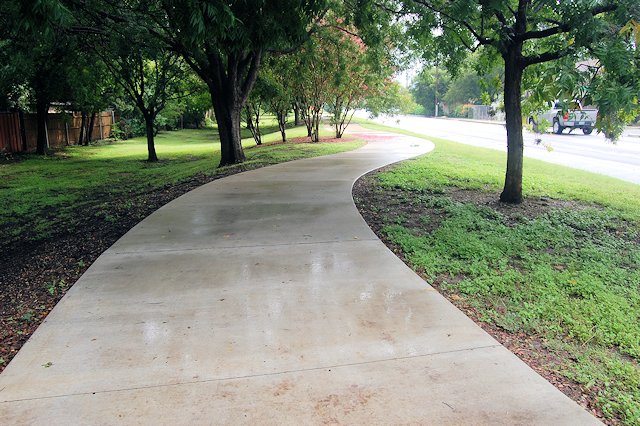
It’s a linear park—averaging only eighty feet wide.
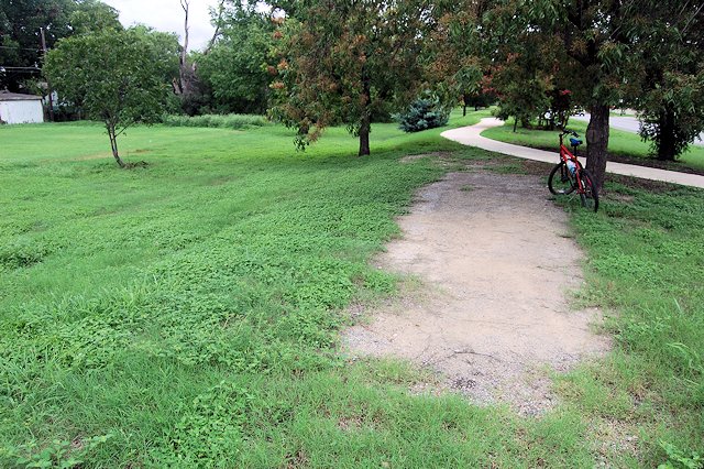
If you walk or bike along that sidewalk you might notice that the center of the park is elevated: three to five feet higher than the backyards of the houses on one side and Biddison Street on the other side. You might also notice that amid the grass and trees in the center of the park are a few strips of gravel.
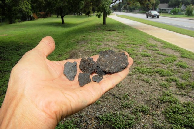
And if you get down close to that gravel and do a little prospecting you will find nuggets of coal: a further clue to what this straight and narrow stretch of real estate yoostabe.

Victory Forest Park was created in the 1990s from the right-of-way of the eastern half of the belt line railroad track, which ran from just east of Hemphill Street to just west of McCart Avenue.
For more than a half-century the 1.5-mile-long belt line connected the tracks of three railroads, originally the Fort Worth & Rio Grande, Santa Fe, and Missouri-Kansas-Texas (Katy).
The center of the park is elevated because the raised gravel roadbed of the track ran down the middle of the right-of-way.
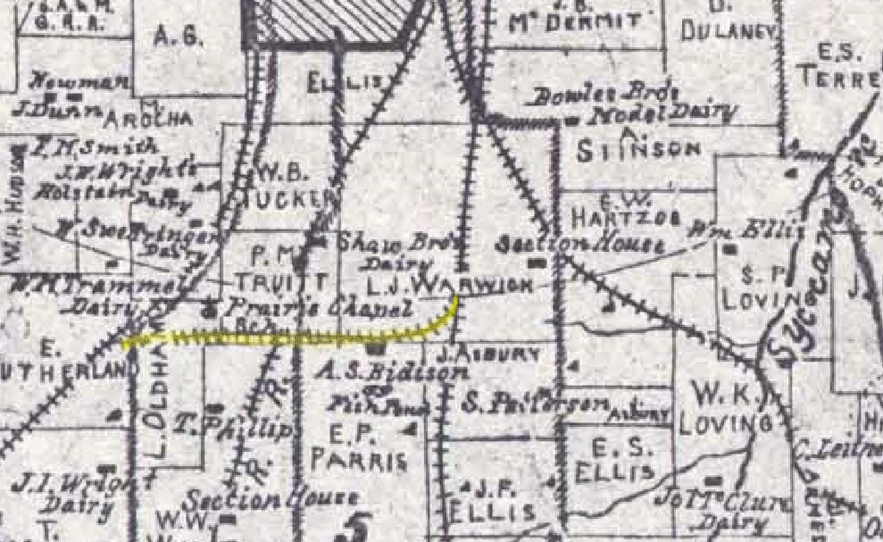
The belt line track appears on the above 1895 county map, surrounded by seven dairies south of Fort Worth. The OLV campus now stands where the Shaw brothers’ dairy was. The map also shows the homestead and fish pond of Amon S. Biddison. Because the belt line predates Biddison Street, the street probably was laid out parallel to the belt line track.
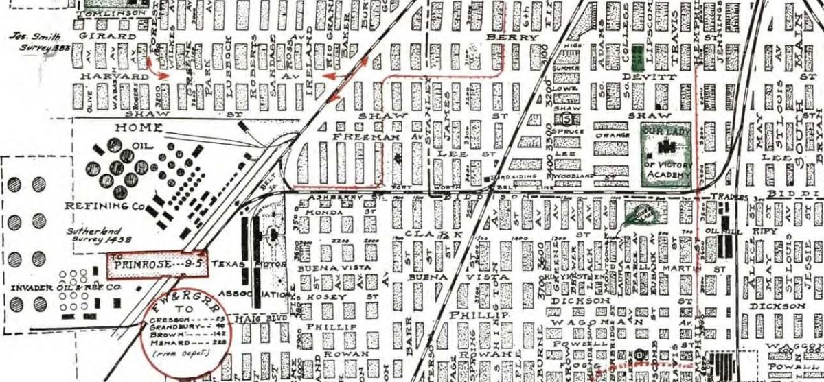
As this snapshot of South Side history shows, by 1920 Amon S. Biddison’s fish pond had become Silver Lake, centerpiece of the Silver Lake subdivision. At the junction of the belt line and the Fort Worth & Rio Grande track, railroad spurs served two oil refineries and the Texas Motor Car Association factory.
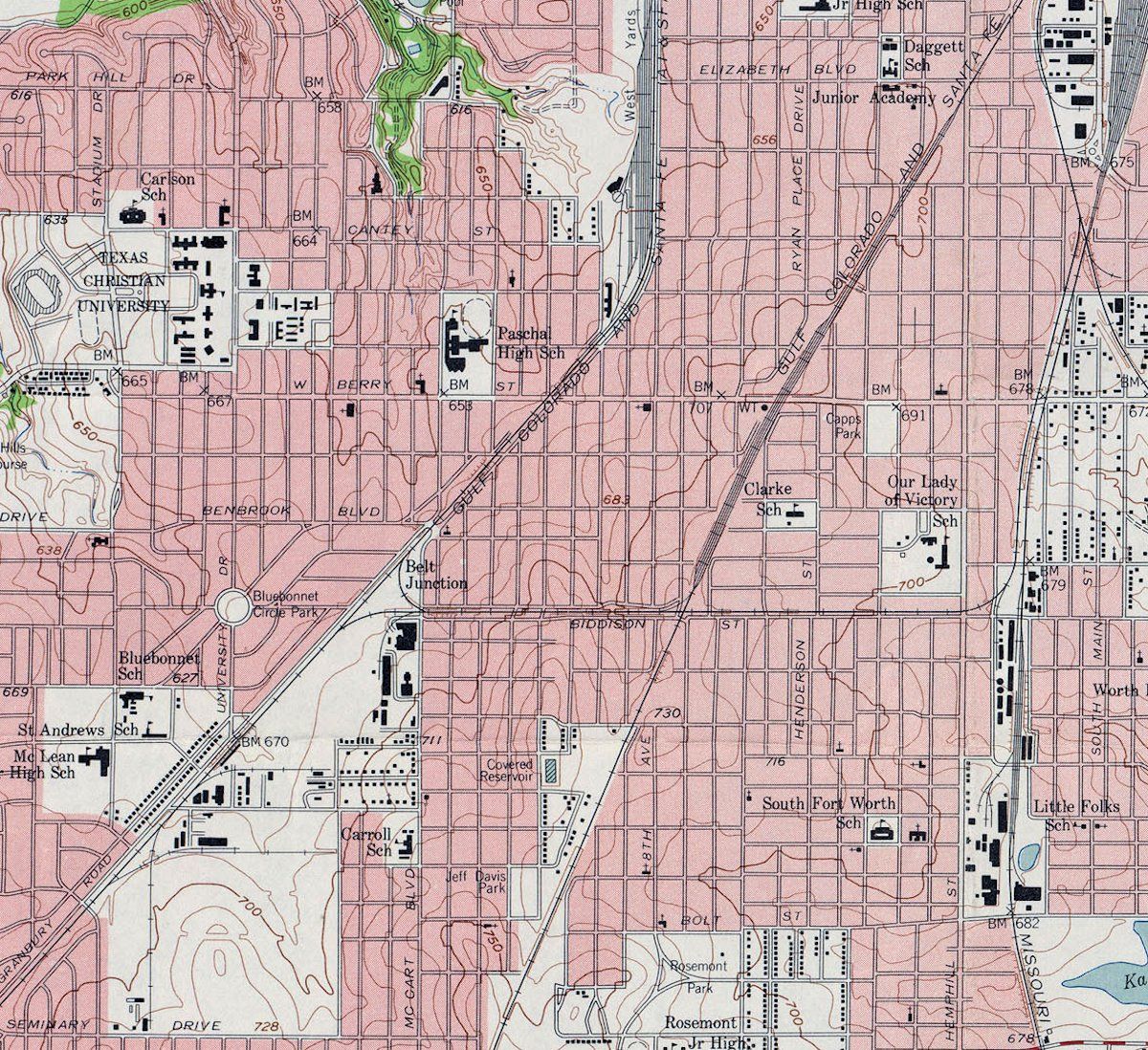
In 1937 Santa Fe bought the Fort Worth & Rio Grande from the Frisco railway, which had bought the FW&RG in 1901. This 1955 United States Geological Survey map shows that south of the belt junction Santa Fe was developing a business park bounded by its track, McCart Avenue, and Seminary Drive. Businesses in the park were served by Santa Fe railroad spurs.
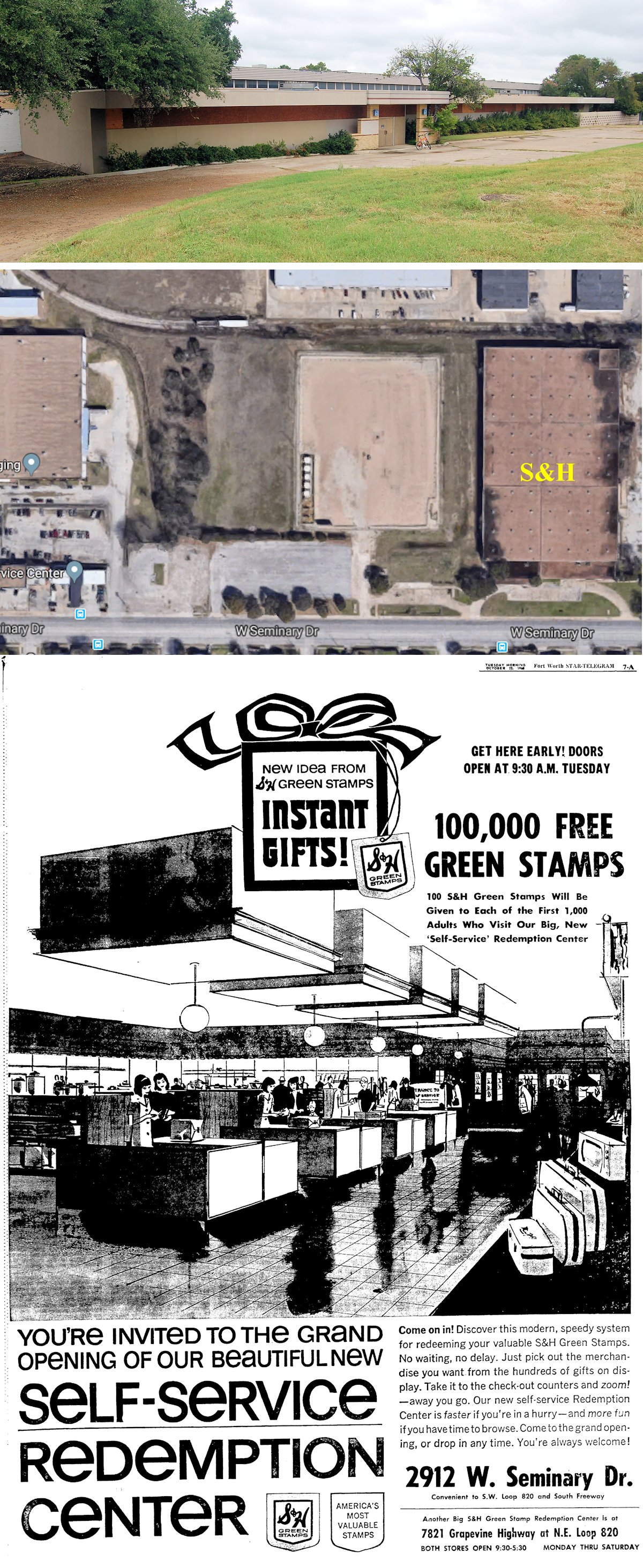
One such business was the S&H Green Stamps self-service redemption center, which opened in 1968 on Seminary Drive and was served by a spur at the rear of the building.
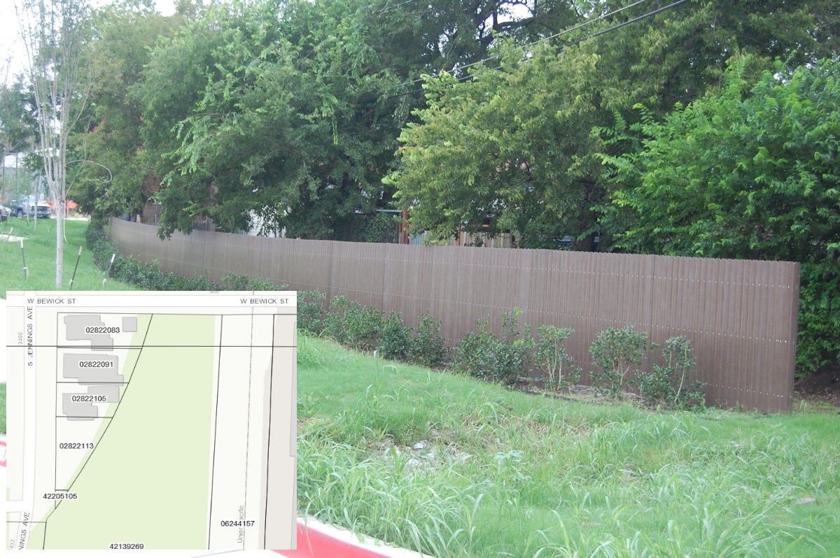
Today the belt line track east of the Burlington Northern Santa Fe track is gone, replaced by the park and the community center, but on South Jennings Avenue the back fences of houses still follow the curve of the belt line track as it turned north to connect to the Katy (now Union Pacific) track.
At the other end of the belt line, its track still connects the Fort Worth & Rio Grande (now Fort Worth & Western) track to the Santa Fe (now Burlington Northern Santa Fe) track. But after living nearby for ten years, I have never seen anything but parked railroad maintenance equipment on the track of the surviving half of the belt line.
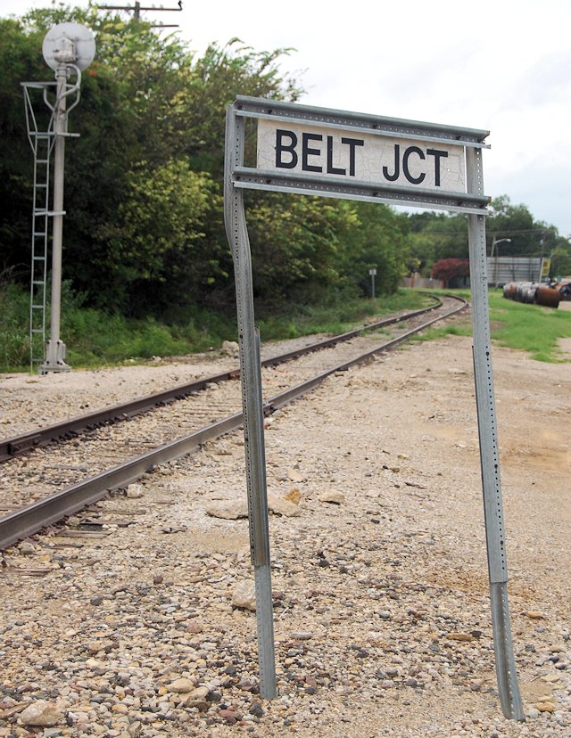
The belt line, like the nuggets of coal in Victory Forest Park that once provided fuel for steam locomotives, is obsolete now. But just west of the intersection of McCart and Biddison streets stands a sign at the junction of now and then.
Posts About Trains and Trolleys


Fascinating!
Thanks, Dave.