The Trinity River has four forks and is fed by many creeks as it flows to the Gulf of Mexico.
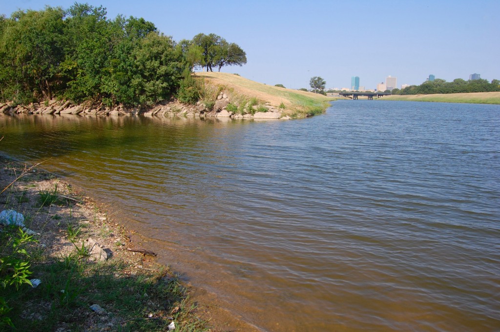
 Confluence of the West and Clear forks, just northwest of the courthouse. The West Fork rises in Archer County. The Clear Fork rises in Parker County.
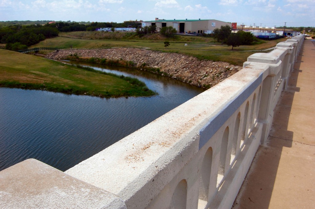
Confluence of the West Fork and Marine Creek as seen from the Samuels Avenue bridge on the North Side. Marine Creek rises east of Eagle Mountain Lake.
 Confluence of the West Fork and Sycamore Creek west of Beach Street on the East Side. Sycamore Creek rises east of Benbrook Lake.
Farther east, in Dallas and Kaufman counties, two more forks—the Elm and the East—merge with the main river as it veers southeastward. Next stop: the Gulf of Mexico. Think about it: A drop of rain that falls in your back yard could, if it says its prayers and eats its Cheerios, ride the Gravity Express from back yard to street gutter to storm drain to creek to river and thence all the way to the gulf. And why stop there? The gulf is connected to the Caribbean, which is connected to the Atlantic Ocean, which is connected to the rest of the seven seas.
Send us a postcard, little droplet.


